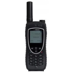
Description
PredictWind Features
It’s easy to get started with PredictWind, and once you’re going, you’ve got a full range of weather forecasting, predicting, and plotting right at your fingertips.
Outstanding Accuracy
Proven technology with the highest resolution model on the web. The forecast model is exclusive to PredictWind!
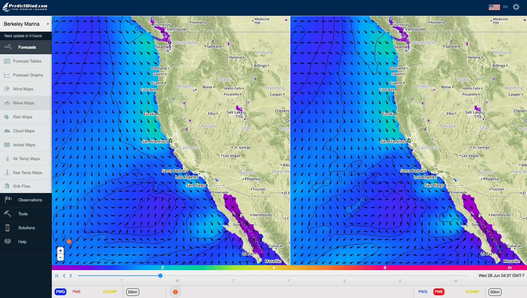
Detailed Forecasts for your Local Area
Most marine forecasts give you a generalised wind forecast in the morning or the afternoon. PredictWind shows wind weather updates every hour, with a wind speed and direction map for your entire local area. The detail you can see in the marine forecast can help you plan your trip or possibly win your next yacht race.
Live Wind Observations
Get access to Real data from 15,000 live stations across the globe. Let us know some of your favorite wind observation sites in your local area, and we will do our best to add them to the PredictWind site.
Departure Planning
What is the best day for depart on your next trip coastal or offshore passage? You will be spanning different weather patterns, and this powerful tool will quickly summarize the wind conditions you will receive if you left on Day1, Day2, Day3, or Day4. Simply drag the start and destination waypoints on the Google Map, the weather routing algorithm will calculate the fastest route (avoiding the land) and summarize the forecast wind data for the next 4 days of departure.
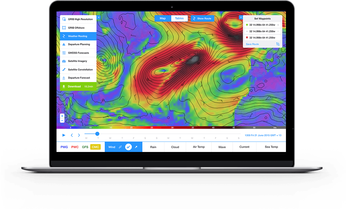
Weather Routing
Simply drag the start and end waypoints on the Google map, and the PredictWind server will calculate the fastest route or the most comfortable route for your boat using the high resolution 1km-8km or the global 50km resolution forecasts. The comfortable route allows you to avoid sailing upwind in strong winds. You decide your tolerance level, and the PredictWind routing algorithm will do its best to avoid these areas. You simply need to select a polar curve that matches your boat, or customize your own polar curve and the optimal route is calculated for all 4 forecasts.
Forecast Confidence
A weather model is only as good as the information entered into the model. PredictWind uses two data sources for the model producing two alternative forecasts for comparison. The closer the wind forecast, the more confidence you can have in the PredictWind wind forecast.

PredictWind Options
PredictWind Features
It’s easy to get started with PredictWind, and once you’re going, you’ve got a full range of weather forecasting, predicting, and plotting right at your fingertips.
Outstanding Accuracy
Proven technology with the highest resolution model on the web. The forecast model is exclusive to PredictWind!
Detailed Forecasts for your Local Area
Most marine forecasts give you a generalised wind forecast in the morning or the afternoon. PredictWind shows wind weather updates every hour, with a wind speed and direction map for your entire local area. The detail you can see in the marine forecast can help you plan your trip or possibly win your next yacht race.
Live Wind Observations
Get access to Real data from 15,000 live stations across the globe. Let us know some of your favorite wind observation sites in your local area, and we will do our best to add them to the PredictWind site.
Departure Planning
What is the best day for depart on your next trip coastal or offshore passage? You will be spanning different weather patterns, and this powerful tool will quickly summarize the wind conditions you will receive if you left on Day1, Day2, Day3, or Day4. Simply drag the start and destination waypoints on the Google Map, the weather routing algorithm will calculate the fastest route (avoiding the land) and summarize the forecast wind data for the next 4 days of departure.
Weather Routing
Simply drag the start and end waypoints on the Google map, and the PredictWind server will calculate the fastest route or the most comfortable route for your boat using the high resolution 1km-8km or the global 50km resolution forecasts. The comfortable route allows you to avoid sailing upwind in strong winds. You decide your tolerance level, and the PredictWind routing algorithm will do its best to avoid these areas. You simply need to select a polar curve that matches your boat, or customize your own polar curve and the optimal route is calculated for all 4 forecasts.
Forecast Confidence
A weather model is only as good as the information entered into the model. PredictWind uses two data sources for the model producing two alternative forecasts for comparison. The closer the wind forecast, the more confidence you can have in the PredictWind wind forecast.
td>
Features
|
Lite
|
Standard
|
Professional
|
| Price for 3 Months |
Included with CruisersEmail |
$99 for 3 Months |
$249 for 3 Months |
| Price for 12 Months |
Included with CruisersEmail |
$249 for 12 Months |
$499 for 12 Months |
| Unique Technology: #1 for accuracy |
X |
X |
X |
| Dual Forecasts for Confidence |
X |
X |
X |
| Worldwide Coverage |
X |
X |
X |
| 14 Day Forecast |
X |
X |
X |
| Offshore App |
|
|
|
| Worldwide Coverage |
X |
X |
X |
| Iridium GO! Interface |
X |
X |
X |
| Satellite Imagery |
X |
X |
X |
| GMDSS Text Forecast |
X |
X |
X |
| GRIB Viewer |
X |
X |
X |
| PWG/PWE/ECMWF 50km GRIB |
|
X |
X |
| PWG/PWE 8km model |
|
X |
X |
| PWG/PWE 1km model |
|
|
X |
| ECMWF Global 9km GRIB |
|
|
X |
| PWG/PWE 50km Wave GRIB |
X |
X |
X |
| ECMWF 14km Wave GRIB |
|
|
X |
| Sea Temp GRIB |
|
|
X |
| Ocean/Tidal Current GRIB |
|
|
X |
| GFS – Wind |
X |
X |
X |
| GFS Precipitation |
X |
X |
X |
| GFS Cloud Cover |
X |
X |
X |
| GFS Temperature |
X |
X |
X |
| GFS Pressure |
X |
X |
X |
| Weather Routing |
|
X |
X |
| Departure Planning |
|
X |
X |
| Destination Forecast |
|
X |
X |
| Vessel Tracking Web Page |
|
|
X |
| Email Delivery – Satellite Phone & SSB |
X |
X |
X |
| RedPort Optimizer and Glow Compatible |
X |
X |
X |
| Iridium Go! Compatible |
X |
X |
X |
| WiFi/Cellular Compatible |
X |
X |
X |
* GFS: Global Forecast System is a weather model produced by National Centers for Environmental Prediction (NCEP)
* PWG: Forecast derived from GFS conditions using proprietary PW model


